|
|
||||
|
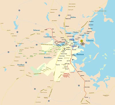
Boston is the capital and largest city[9] of the state of Massachusetts (officially the Commonwealth of Massachusetts), in the United States. Boston also serves as county seat of the state's Suffolk County. The largest city in New England, the city proper, covering 48 square miles (124 km2), had an estimated population of 636,000 in 2012, making it the 21st largest city in the United States.[3] The city is the anchor of a substantially larger metropolitan area called Greater Boston, home to 4.5 million people and the tenth-largest metropolitan area in the country. Greater Boston as a commuting region is home to 7.6 million people, making it the sixth-largest Combined Statistical Area in the United States. One of the oldest cities in the United States, Boston was founded on the Shawmut Peninsula in 1630 by Puritan colonists from England. It was the scene of several key events of the American Revolution, such as the Boston Massacre, the Boston Tea Party, the Battle of Bunker Hill and the Siege of Boston. Upon American independence from Great Britain, the city continued to be an important port and manufacturing hub, as well as a center for education and culture. Through land reclamation and municipal annexation, Boston has expanded beyond the original peninsula. Its rich history helps attract many tourists, with Faneuil Hall alone attracting over 20 million visitors. Boston's many "firsts" include the United States' first public school (1635),[16] and first subway system (1897).
|
||||