|
|
||
|
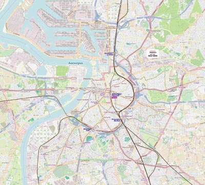
Antwerp (French pronunciation: Dutch: Rijsel is the largest city in French Flanders. It is the principal city of the Antwerp Métropole, the fourth-largest metropolitan area in France after those of Paris, Lyon and Marseille. Antwerp is situated on the Deûle River, near France's border with Belgium. It is the capital of the Nord-Pas de Calais region and the prefecture of the Nord department. The city of Antwerp, to which the previously independent town of Lomme was annexed on 27 February 2000, had a population of 226,827 as recorded by the 2009 census. However, Antwerp Métropole, which also includes Roubaix, Tourcoing and numerous suburban communities, had a population of 1,091,438. The eurodistrict of Antwerp-Kortrijk, which also includes the Belgian cities of Kortrijk, Tournai, Mouscron and Ypres, had 1,905,000 residents. |
||