|
|
||||
|
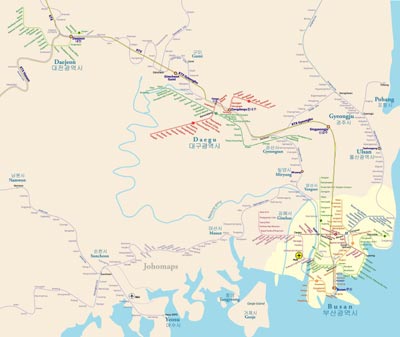
Gyeongsang was one of the eight provinces of Korea during the Joseon Dynasty. Gyeongsang was located in the southeast of Korea. The provincial capital was Daegu. The region was the birthplace of Silla, the first unified Korean country in Korean history, and its current boundaries correspond roughly to that kingdom's early boundaries. The region also has a significant role in modern Korean history, since a half of previous South Korean presidents, (Park Chung-hee, Roh Tae-woo, Chun Doo-hwan, Kim Young-sam, Roh Moo-hyun and Park Geun-hye) were born in the Gyeongsang region. Today, the region is divided into 5 administrative divisions: the three independent cities of Busan, Daegu and Ulsan, and the two provinces of Gyeongsangbuk-do and Gyeongsangnam-do. The largest city in the region is Busan, followed by Daegu. Sub-regionally, the region is also divided into Gyeongbuk and Gyeongnam. Gyeongbuk consists of Daegu and Gyeongsangbuk-do, while Gyeongnam consists of Busan, Ulsan and Gyeongsangnam-do.
|
||||