|
|
||||
|
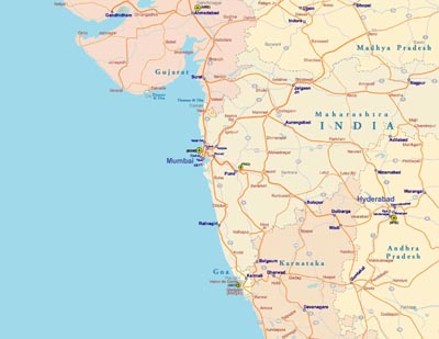
West India (also Western India) or the Western region of India consists of the states of Goa, Gujarat and Maharashtra, along with the Union Territories of Daman and Diu and Dadra and Nagar Haveli. It is highly industrialized, with a large urban population. The states are roughly bounded by the Thar Desert in the northwest, the Vindhya Range in the north and the Arabian Sea in the west. A major portion of Western India shares the Deccan Plateau with South India. Before the partition of India, Sindh and Balochistan were also included in this region.
|
||||