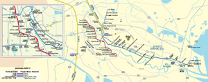
Other names of Tianjin:
Jin (short form)
Tientsin (Old transliteration)
Adjective: Tianjinese (rarely used)
Short form: Jin (津)
Tianjin
(From Wikipedia)
Copyright owned by wikipedia.org
See
here for copyright and licensing conditions
Tianjin (Chinese: 天津;
Pinyin: Tiānjīn;
Postal System Pinyin: Tientsin) is one of the four municipalities
of the People's Republic of China. As a municipality, Tianjin has
provincial-level status and comes directly under the central government.
Tianjin's urban area is the third largest city in Mainland China.
Tianjin's urban area is located along the Hai
He River. Its ports, some distance away, are located on Bohai Gulf of
the Pacific Ocean. Tianjin Municipality borders Hebei province to the
north, south, and west; the municipality of Beijing in a small portion
to the northwest; and Bohai Gulf to the east.
[Read
full article]
|

